


It is bordered on the South by La Pampa, on the East San Luis and on the North and West by the Department of San Rafael.
Topographically is a vast plain with characteristics similar to the prairies. Its economy is based primarily in the cultivation of fodder, fruit trees and vines; in the beekeeping, and in the breeding of cattle. In honor to this there is the “National Feast of the Animal Husbandry of the Arid Zones” celebrated in the Guinness book for its barbecued ribs.
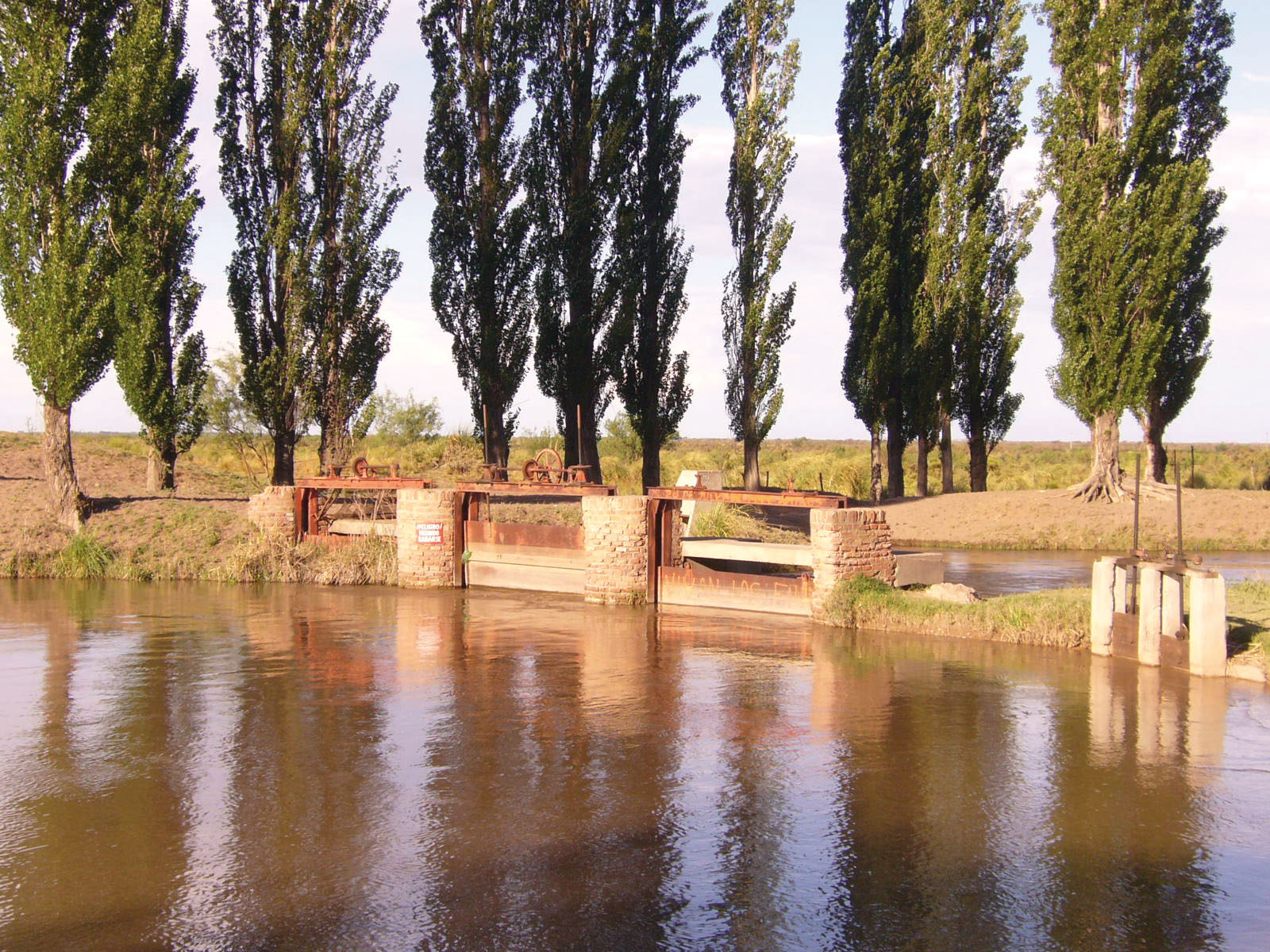
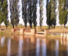
Alvear is reached by two of the major rivers of Mendoza, the Atuel and the Diamante. The Diamante River forms the northern boundary of Alvear and drains its water into the Desaguadero-Salado River, which forms the eastern boundary of the Department (where it runs into the Diamante). The Atuel River forms the west boundary of General Alvear, thus the boundaries of the Department are made almost entirely by rivers.
The Atuel and the Diamante irrigate the extensive Alvearense Plain and are responsible for its characteristic fertility, making it possible to cultivate vines and fruit trees successfully.
There are several tourist circuits to admire the natural beauty, the processing and tasting of their production, or the cuisine of the department.
Esta entrada también está disponible en: Spanish Portuguese (Brazil)
¿Qué te pareció la publicación?